
About Alaska Mapped - Data and User Services
Delivering satellite and airborne ortho-imagery and digital elevation models (DEM) for Alaska
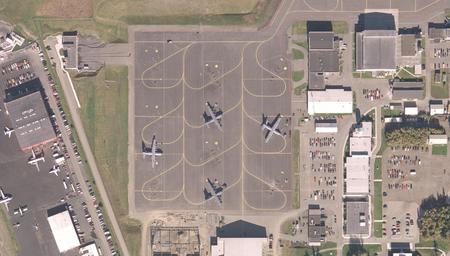
Airplanes parked at the Ted Stevens Anchorage International Airport. source: USGS.
Alaska Mapped Data Services
Alaska Mapped is the product distribution and user services arm of the Statewide Digital Mapping Initiative. Highlights from the comprehensive list of geospatial data services include:
- Online mapping interfaces to orthoimagery, DEM, DRG, shaded relief and NOAA charts data.
- Open Geospatial Consortium (OGC) web services
- These OGC services are also consumed by other internet map servers for Alaska.
- GIS layer files for simple incorporation of Alaska Mapped and GINA web services into desktop GIS packages, including ESRI’s ArcMap and ArcGIS.
- KML files for use in Google Earth and many other GIS applications.
Alaska Mapped user services
Alaska Mapped also provides extensive user service to those consuming and building applications with the data. User services include:
- Training and outreach
- Technical support and troubleshooting
- Bulk data exports for users with large requests
Technologies in use
Alaska Mapped holds the most comprehensive collection of imagery and DEMs for Alaska. The web services, user interfaces and data system back end have been designed from the ground up to be reliable and fast-performing. A guide to the Alaska Mapped implementation is available, and we are happy to discuss technology with interested geospatial service providers.
